



AusTides is an electronic nautical product that provides the tidal information contained in the Australian National Tide Tables (ANTT), together with additional calculation and display functions. It contains information for more than 90 Primary (Standard) and 700 Secondary ports in Australia, Papua New Guinea, Solomon Islands, Antarctica and Timor-Leste.
AusTides automatically calculates intermediate times and heights for port entry and departure, removing the need for users to complete these calculations manually. AusTides provides:
- Daily high and low water predictions for Standard and Secondary Ports.
- Interactive tidal curves to identify periods when sufficient water depth is available.
- Graphical tidal predictions at 10, 20, 30 and 60-minute intervals.
- Predicted maximum tidal-stream rates and graphical tidal-stream curves for Torres Strait and Port Phillip Heads.
- Tidal-stream diagrams for Sydney, Broome and Darwin.
- The 22 principal harmonic constituents for Standard and Secondary ports.
Users should monitor Australian Notices to Mariners for information about AusTides data updates and new editions. When connected to the internet, AusTides automatically checks for updates at login and notifies users when an update is available. Users without internet access must download and install updates manually when connectivity becomes available.
System requirements
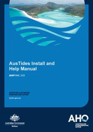
AusTides is compatible with Windows 10, macOS on Intel or Apple silicon, and Linux. Administrator permission is required to install the application. Step-by-step installation instructions are provided in the AusTides Install and Help Manual available below.
For installation or technical assistance, email Tides Support.
Supporting information
Tide predictions
The Australian Bureau of Meteorology (BoM)- external site provides short-term tidal predictions for Australian Standard ports. These predictions do not account for differences between chart datum and tidal datum. Predictions for Secondary ports are not available through the BoM website.
Vertical datums
For more information on vertical datums refer to the Mariner's Handbook for Australian Waters (AHP20).
Official nautical product
AusTides is an official electronic nautical product issued by the Australian Hydrographic Office (AHO), Australia’s national charting authority. The electronic application complies with Australian carriage requirements.
For carriage requirements applying to SOLAS and NSCV-regulated vessels, refer to the relevant Marine Orders and Marine Notices on the Australian Maritime Safety Authority (AMSA) website.
For product information or feedback, email AHO Communications.
Downloads
AusTides 2026 [v2.1.2] (Windows) | ZIP | 92.6 MB
AusTides 2026 [v2.1.2] (MacOS) | DMG | 119 MB
AusTides 2026 [v2.1.2] (Linux) | AppImage | 125 MB