
Page
AusENC is a local, official vector Electronic Navigational Chart (ENC) service tailored to meet Australian, Papua New Guinea and Solomon Islands domestic operations.

Page
The AHO Chart Explorer is an interactive web application for finding AHO nautical products.
Page
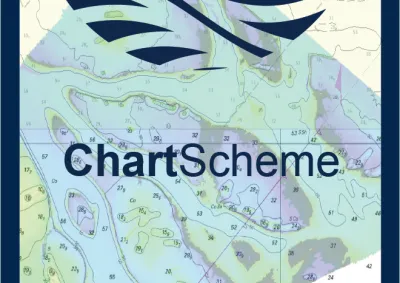
ChartScheme is our yearly roadmap that details planned activities within Australian waters and in waters of countries for which the AHO is the Primary Charting Authority (PCA).

Collection
Find an authorised Distribution Agent in your region for AHO Paper Nautical Charts and AusENC.
Page
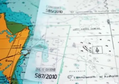
The AHO publishes and updates approximately 380 official paper nautical charts. The full portfolio of AHO published paper charts is commercially available through AHO Distribution Agents.
Page
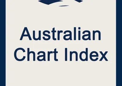
The Australian Chart Index (ACI) is a text-based alternative to the AHO Chart Explorer.

Page
The AHO publishes official electronic charts covering Australian, Australian Antarctic Territory, Papua New Guinea, Solomon Islands and Timor-Leste waters as Electronic Navigational Charts (ENC).