The Australian Hydrographic Office (AHO) has released ChartScheme 2027, outlining the priorities for planned charting activities for the year ahead.
The 2027 program includes 19 charting projects, with 15 dedicated to HydroScheme surveys, aimed at improving the safety and quality of Australia’s nautical charting information. The first project noted in the ChartScheme for 2027 is the Yampi Sound to Montgomery Reef survey in Western Australia (HIPP Survey 1056), which will deliver important new seabed and navigational data for this remote and environmentally significant region.
Other notable projects in ChartScheme 2027 include:
- Sydney Harbour – a project supporting the continued AHO S-100 Roll Out Plan, contributing to the next generation of digital navigation products.
- Batumata Point, Papua New Guinea – a project under the PCA arrangement, strengthening regional hydrographic cooperation and charting outcomes.
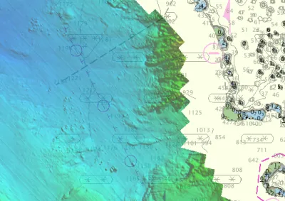
- Gold Coast, Queensland – a project focused on improving chart coverage for domestic commercial vessels and recreational craft.
- Approaches to Larsemann Hills, Antarctica – a project in the Australian Antarctic Territory to enhance navigational safety and support Antarctic operations.
ChartScheme 2027 reflects the AHO’s ongoing commitment to delivering accurate, contemporary maritime data that supports safe navigation, maritime operations and national charting priorities across Australian, regional and Antarctic waters.